
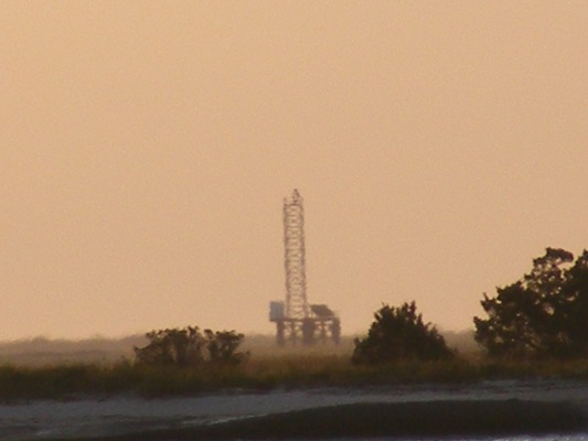
Bald Head Shoal Channel Range Rear Light
ARLHS USA-1225
ARLHS World List of Lights (WLOL)
Located in United States Of America Call Area
|
| USA-1225 BALD HEAD SHOAL CHANNEL RANGE REAR Copyright 2008 KD3CQ |
|
| ||||||||||||||||||
This record modified February 23, 2013 - Feedback to the WLOL Maintainer
| Amateur radio activity for this Lighthouse | |||
|---|---|---|---|
| Start Date | End Date | Callsign | Notes |
| 2019-04-12 | 2019-04-13 | KD3CQ/ | Easy to activate from the waterfront in Southport, NC - follow NC 211 (Howe Street) to waterfront parking. Dan KD3CQ/ ARLHS #979 |
| 2008-10-19 | 2008-10-19 | KD3CQ/4 | |
The information contained within the ARLHS World List of Lights is Copyright 2003-2026 ARLHS, LLC.
Visit ARLHS for usage information.
Database HTML Rendering Programs, MySQL Schema and Web Site Content (excluding the actual lighthouse data)
Copyright 2006-2026 John Huggins
PHP/MySQL Database Engine: $Revision: 1.91 $
Lighthouse Display Program: $Revision: 1.50 $


