
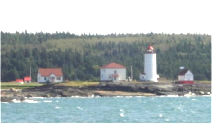
Green Island/Ãle Verte (St. Lawrence River) Light
ARLHS CAN-244
ARLHS World List of Lights (WLOL)
Located in Canada Call Area
|
| Ile Verte CAN 244 Copyright 2007 VE2LHP |
|
| ||||||||||||||||||
This record modified May 29, 2010 - Feedback to the WLOL Maintainer
| Amateur radio activity for this Lighthouse | |||
|---|---|---|---|
| Start Date | End Date | Callsign | Notes |
| 2012-07-26 | 2012-07-26 | VX2I | |
| 2009-07-24 | 2009-07-26 | CG200I | |
| 2009-07-24 | 2009-07-26 | CG2001 | |
| 2007-09-03 | 2007-09-03 | VE2QLH/mm | |
| 2007-09-03 | 2007-09-03 | VE2LHP/mm | |
The information contained within the ARLHS World List of Lights is Copyright 2003-2026 ARLHS, LLC.
Visit ARLHS for usage information.
Database HTML Rendering Programs, MySQL Schema and Web Site Content (excluding the actual lighthouse data)
Copyright 2006-2026 John Huggins
PHP/MySQL Database Engine: $Revision: 1.91 $
Lighthouse Display Program: $Revision: 1.50 $


