
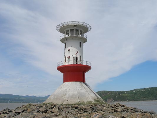
Ãle aux Coudres/Pointe de la Prairie Light
ARLHS CAN-234
ARLHS World List of Lights (WLOL)
Located in Canada Call Area
|
| Isle-aux-Coudres na-128 Copyright 2007 Guy Bouchard / VE2QRA |
|
| ||||||||||||||||||
This record modified May 29, 2010 - Feedback to the WLOL Maintainer
| Amateur radio activity for this Lighthouse | |||
|---|---|---|---|
| Start Date | End Date | Callsign | Notes |
| 2006-09-22 | 2006-09-22 | VE2QLM/mm | |
| 2002-05-03 | 2002-05-03 | VE2/F5IDM | |
The information contained within the ARLHS World List of Lights is Copyright 2003-2026 ARLHS, LLC.
Visit ARLHS for usage information.
Database HTML Rendering Programs, MySQL Schema and Web Site Content (excluding the actual lighthouse data)
Copyright 2006-2026 John Huggins
PHP/MySQL Database Engine: $Revision: 1.91 $
Lighthouse Display Program: $Revision: 1.50 $


