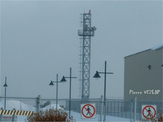
ARLHS

Pointe au Pic Light

ARLHS CAN-1250

ARLHS

ARLHS World List of Lights (WLOL)


Located in Canada Call Area

Pointe au Pic  CAN 1250 - Copyright 2005 VE2LHP
Pointe au Pic CAN 1250
Copyright 2005 VE2LHP

Add a photograph

Details
Also Known As:
ARLHS CAN 1250, CAN-1250, CAN 1250
State or Province Quebec
Lighthouse Coordinates
(DO NOT USE FOR MARINE NAVIGATION)
47.62253, -70.14005
47° 37.352' N, 070° 8.403' W
47° 37' 21" N, 070° 08' 24" W
Map Link - KML
Maidenhead Coordinates
aka 'Gridsquare'
FN47wo
Structure removed, relocated, destroyed or otherwise lost? no
Listed in the World List of Lights since
2006-06-01
St. Lawrence River
1844 H2194
Google Map in New Window
Red Lighthouse Map Icon
Approx. Location
yellow Lighthouse Map Icon
Location Report Received
Green Lighthouse Map Icon
Location Verified

Circle shows 1000m radius from light

This record modified May 27, 2013. - Feedback to the WLOL Maintainer

Amateur radio activity for this Lighthouse
Start DateEnd DateCallsignNotes
No Activations Known - Please add below
Add a past, current or future operation.
Activation Start Date - YYYY-MM-DD
Activation End Date - YYYY-MM-DD
(only if multiple days)
Callsign of activator
Notes

The information contained within the ARLHS World List of Lights is Copyright 2003-2024 ARLHS, LLC.
Visit ARLHS for usage information.

Database HTML Rendering Programs, MySQL Schema and Web Site Content (excluding the actual lighthouse data)
Copyright 2006-2024 John Huggins
PHP/MySQL Database Engine: $Revision: 1.90 $
Lighthouse Display Program: $Revision: 1.50 $