
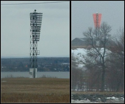
Lotbinière Rear Range (St. Lawrence River) Light
ARLHS CAN-1149
ARLHS World List of Lights (WLOL)
Located in Canada Call Area
|
| Lotbinière Rear Range Copyright 2004 VE2LHP |
|
| ||||||||||||||||||||
This record modified May 25, 2013. - Feedback to the WLOL Maintainer
| Amateur radio activity for this Lighthouse | |||
|---|---|---|---|
| Start Date | End Date | Callsign | Notes |
| 2004-04-13 | 2004-04-13 | VE2LHP/p | |
The information contained within the ARLHS World List of Lights is Copyright 2003-2024 ARLHS, LLC.
Visit ARLHS for usage information.
Database HTML Rendering Programs, MySQL Schema and Web Site Content (excluding the actual lighthouse data)
Copyright 2006-2024 John Huggins
PHP/MySQL Database Engine: $Revision: 1.90 $
Lighthouse Display Program: $Revision: 1.50 $


