
Britannia (Ottawa River) Light
ARLHS CAN-1050
ARLHS World List of Lights (WLOL)
Located in Canada Call Area
|
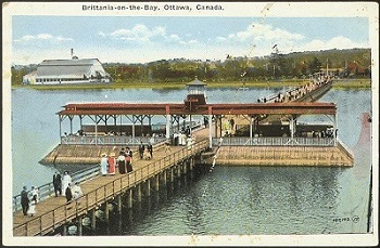
| Britannia (Ottawa River) Light Public Domain Chris VE3CBK |
|
| ||||||||||||||||||
This record modified August 17, 2016. - Feedback to the WLOL Maintainer
| Amateur radio activity for this Lighthouse | |||
|---|---|---|---|
| Start Date | End Date | Callsign | Notes |
| 2021-07-10 | 2021-07-10 | VE3CBK/QRP | Also activating CAN-867, CAN-1437 and CAN-1352 |
| 2020-08-06 | 2020-08-06 | VE3CBK/QRP | Also activating CAN-867, CAN-1437 and CAN-1352 |
| 2019-09-18 | 2019-09-18 | VE3CBK/QRP | Also activating CAN-867, CAN-1437 and CAN-1352 |
| 2018-07-12 | 2018-07-12 | VE3CBK/QRP | Believe that this is the first activation of this light. 73 Chris VE3CBK/QRP |
The information contained within the ARLHS World List of Lights is Copyright 2003-2024 ARLHS, LLC.
Visit ARLHS for usage information.
Database HTML Rendering Programs, MySQL Schema and Web Site Content (excluding the actual lighthouse data)
Copyright 2006-2024 John Huggins
PHP/MySQL Database Engine: $Revision: 1.90 $
Lighthouse Display Program: $Revision: 1.50 $


